Drones
-
- Drones
Agisoft Metashape Software
- Discover intelligent photogrammetry with Metashape Process digital images and generate 3D spatial data. Fast and highly accurate. Agisoft Metashape is a stand-alone software product that performs photogrammetric processing of digital images and generates 3D spatial data to be used in GIS applications, cultural heritage documentation, and visual effects production as well as for indirect measurements of objects of various scales.…
- Read more
-
- Drones
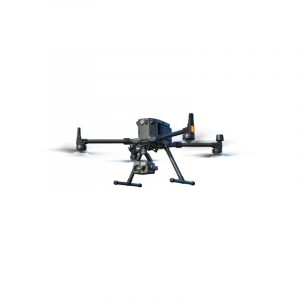
DJI MATRICE 300 RTK
- Built Tough. Works Smart. Improved Transmission System The all-new OcuSync Enterprise enables transmission up to 15 km away and supports triple-channel3 1080p video. Real-time auto-switching between 2.4 GHz and 5.8 GHz4 enables more reliable flight near high-interference environments, while AES-256 encryption offers secure data transmission. Enhanced Flight Performance The refined airframe and propulsion system design gives you a more efficient…
- Read more
-
- Drones
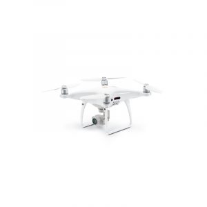
DJI PHANTOM 4 RTK
- Visionary Intelligence. Elevated Accuracy. Upgrade your next mapping mission with the Phantom 4 RTK – the most compact and accurate low altitude mapping solution. Next Generation Mapping DJI has rethought its drone technology from the ground-up, revolutionizing its systems to achieve a new standard for drone accuracy – offering Phantom 4 RTK customers centimeter-accurate data while requiring fewer ground control…
- Read more


